
GPS-reis Tauern
Experience Highlights
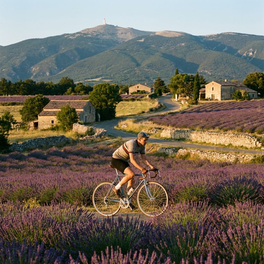
Het gebied tussen Tauern, Hochkönig en Dachstein is een geweldig mountainbike gebied. Prachtige etappes met 2 verplaatsingen.
What's Included
Inclusions
Amenities
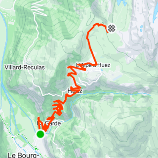
The Route Architecture
Découvrez votre prochaine aventure
Zelfstandig navigeren door een van de mooiste Alpenregio's van Oostenrijk.
Découvrez des paysages à couper le souffle et le frisson de la balade. Ce voyage est conçu pour ceux qui recherchent plus qu'une simple balade à vélo : il s'agit du voyage, du défi et des souvenirs que vous créerez.
- Des itinéraires de premier ordre sélectionnés par des experts
- Soutien et logistique complets
- Mélange parfait de défi et de plaisir
Key Segments
Exploring
Salzburgerland
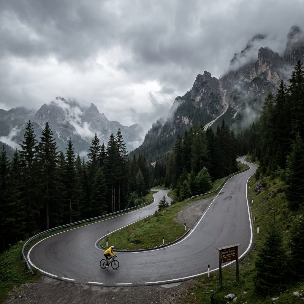
Exploring Salzburgerland means immersing yourself in a cycling ecosystem built over decades. From the technical nuances of the local climbs to the specific rhythm of the terrain, we provide the deep context required to master these roads.
The micro-climate of this region demands respect; shifting from sheltered valleys to exposed ridges can change the ride dynamic in minutes. Our destination intelligence ensures you are always prepared for what the road has in store.
Nearby Regions
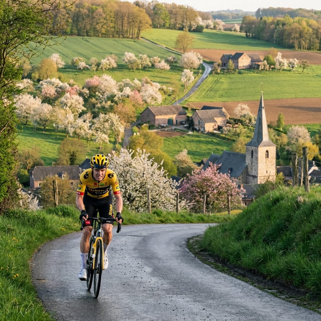
Limburg Hills
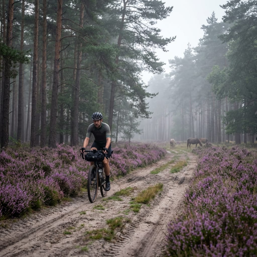
Veluwe Forest
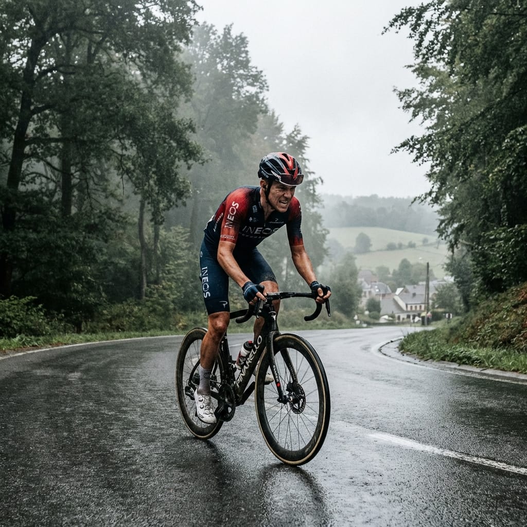
Ardennes
Rider Briefings
Direct accounts from those who have faced the gradient.
Alex Thompson
Sportive Rider"The level of support was unlike anything I've experienced. Having a pro-grade van and guides who know every inch of the road made all the difference."
Elena Rossi
Climbing Specialist"A perfectly paced week. The itinerary balances brutal climbs with incredible recovery spots. Velociety really understands the rider's soul."